Moral's Mark
MORAL’S MARK Question Everything!
  • Home
  • History
  • Memos
  • Timelines
    • 3000 BC – AD 180
    • AD 500 – present
  • Civilisations
    • Levant
    • Egypt
    • Rome
    • India
    • China
    • Japan
    • Europe
  • The Ptolemy Project
    • The Proposal
    • The Memo
    • The Missing Works
  • People
  • Religion
  • Myth
  • Etymology
  • Politics
  • Science
  • TOE
  • TOC
  • Memos
  • Terms
  • Blog
  • About
Home/Blog/Day 77
← Day 76 All entries Day 78 →
Day 77 Monday 7 September 2026 Cooloongup, WA by Brett Murrell

NEW MAP UNLOCKED!

New Map unlocked! Did you know Africa was this big? Also note just how big indonesia island network is. Fascinating!
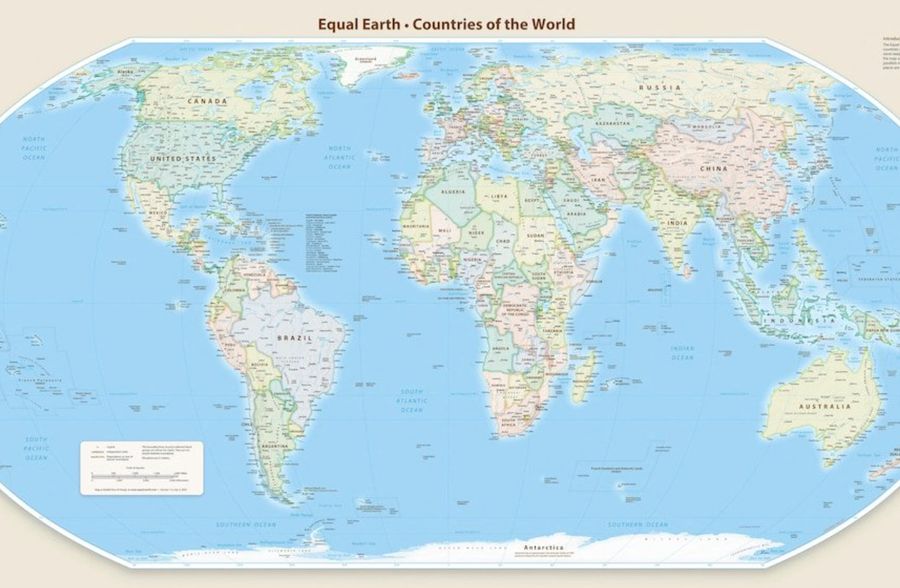
The Equal Earth projection world map, Countries of the World, showing every continent at its true relative area with Africa markedly larger than on a Mercator map.
The Equal Earth projection. Map from equal-earth.com, released free of charge by its makers.

UN voted to approve this true dimensional map.

Why would they shrink Africa....is it a mines bigger than urs thing?

Funny enough, The mighty US was the single country who voted against the changes to the Map.
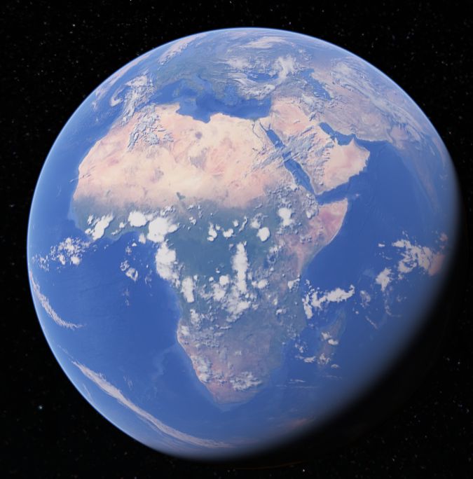
Satellite view of the globe centred on Africa, the Sahara pale across the north, the Congo green at the centre, the Mediterranean and Red Sea at the top.
Africa, on the globe.
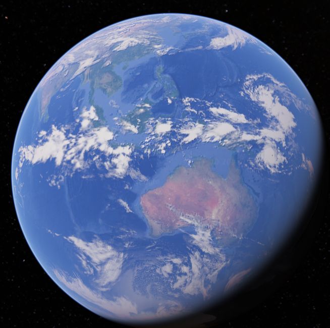
Satellite view of the globe centred on Australia, the red centre visible, south-east Asia and the Indonesian archipelago spread across the upper half.
Australia and the Indonesian archipelago.

Knowing how big Australia is, having driving across it, gives me a feel for the scale of just how vast of our planet its a big beautiful Planet. Another interesting observation, 1 side of it is all ocean.
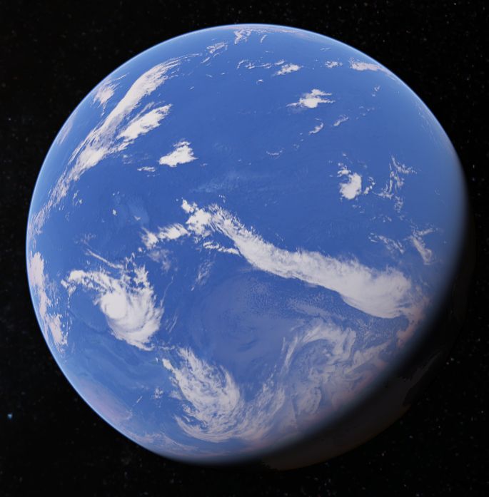
Satellite view of the globe showing the Pacific hemisphere: almost the entire face is open ocean, with cloud bands and a sliver of land at the edges.
The Pacific face. Almost the whole hemisphere is water.

Wow!

How many Planets as good as ours in this galaxy you think?


Background added here, not part of the post as published.

The vote was in the UN General Assembly on Friday 4 September 2026, on a resolution led by Togo on behalf of the African group with the Bahamas, building on the African Union’s “Correct the Map” campaign. It passed 164 votes to one. The United States cast the only vote against, calling the initiative a radical ideological project. Six countries abstained: Estonia, Georgia, Lithuania, Moldova, Serbia and Ukraine.

The resolution is not binding and does not ban the Mercator projection. It encourages governments, schools and tech companies to use equal-area projections such as Equal Earth, which was developed in 2018. France announced the same day that it would drop Mercator.

On the scale: on Mercator, Greenland and Africa look about the same size. On an equal-area map, fourteen Greenlands fit inside Africa.

← Day 76 All entries Day 78 →
Moral’s Mark

The personal site of Brett Murrell. Posts, memos and photos — covering the civilisations of the ancient world, religion, myth, etymology, statecraft and science. Question Everything! — signed and stood behind.

Part of a four-site family. multimodalcorridors.com

The Site
  • Home
  • Master Timeline
  • Civilisations
  • People
  • Religion
  • Myth
  • Etymology
  • Politics
The Archive
  • Library
  • Etymology
  • About
The Family
  • MMC — Engineering →
  • Sovereign Australia — Politics →
  • MMA — Movement →

© Brett Murrell · All thoughts signed and public · Built static · No tracking